Searching by climate
Genesys makes it possible to search across more than 4.5 million accessions maintained in over 500 genebanks worldwide. Of those, over 1 million are accompanied by geographical coordinates of the sites from where the material was originally collected. Such georeferenced accessions are included in the maps generated by Genesys.
If we assume that plants adapt to their environment over time, then accessions collected from warmer environments should be more tolerant to hot conditions compared to those collected from areas with cooler climates, for example. This guide explains how you can use climatic parameters to find matching accessions in Genesys.
How climate data works in Genesys
Genesys first links the coordinates of accessions with climate data for the corresponding location. The climate data is sourced from WorldClim, a global climate dataset with a spatial resolution of about 1 km squared at the equator, which includes a number of bioclimatic variables useful for plant genetic resource research.
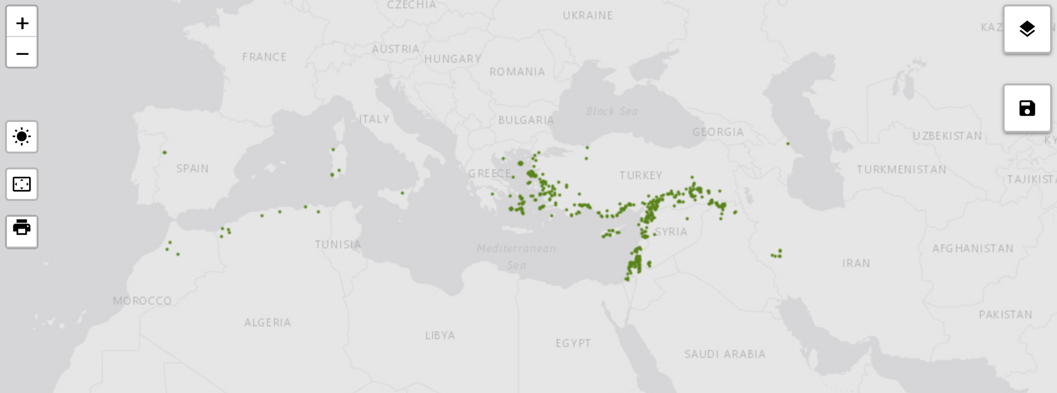
Three ways to search by climate
There are three ways to search for accessions by climate in Genesys.
1. Select a point on the map
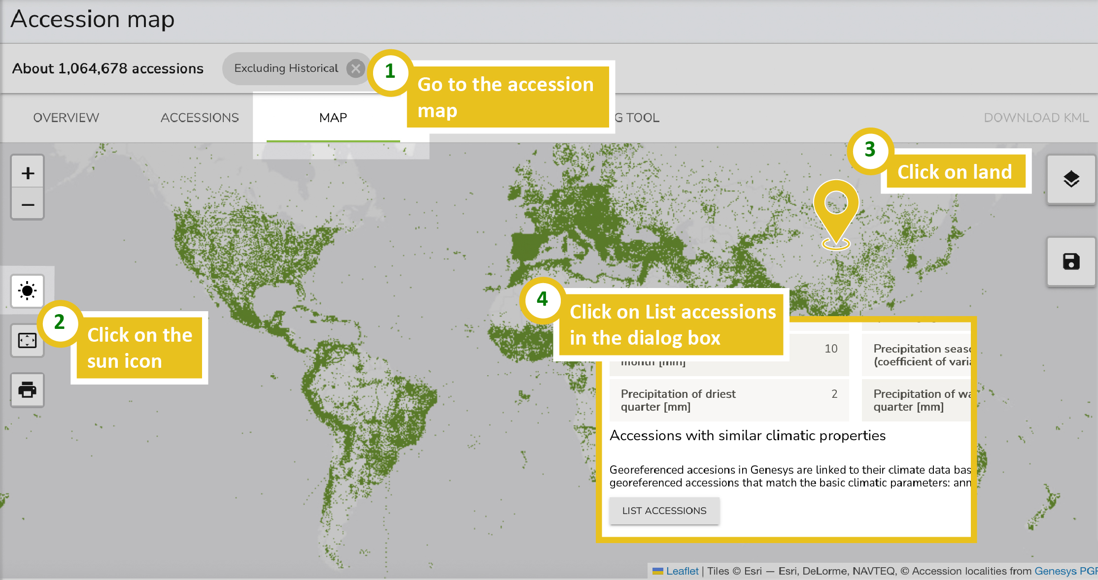
The simplest option is to select the climate for which you wish to find accessions by pointing to any land area on the map in Genesys. This will display the climate at the selected location and offer the option to list the accessions that are linked to similar temperature and precipitation conditions.
2. Choose the climate of another accession
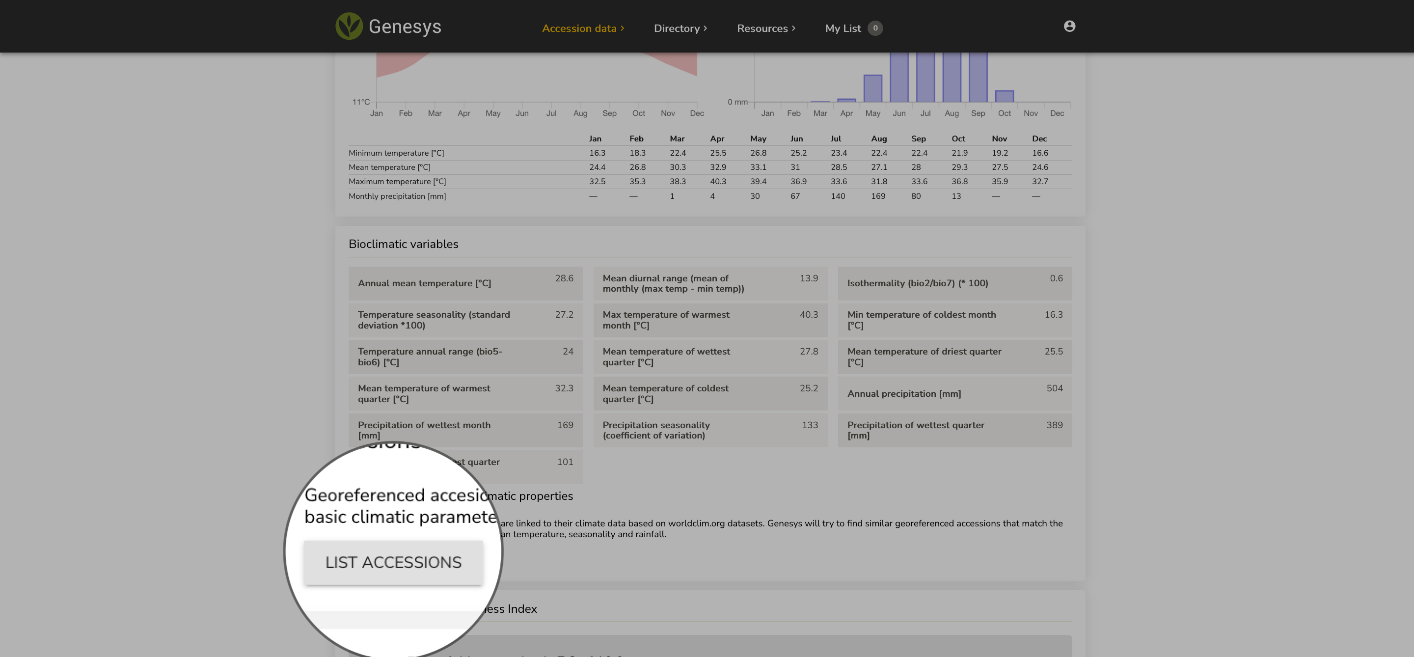
For any accession that includes coordinates, Genesys displays the climatic conditions at that location and offers to find accessions that match those conditions. You can access this from an accession's details page.
3. Use the filters sidebar
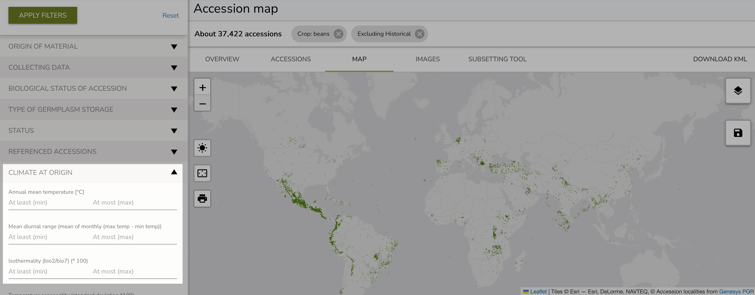
The two options above use a carefully selected set of climatic filters: annual mean temperature, seasonality and rainfall. To specify your own filters, use the Climate at origin section at the end of the filters sidebar. This gives you access to all bioclimatic variables.
Bioclimatic variables
The Climate at origin filter groups the bioclimatic variables into two categories: temperature and precipitation.
Temperature variables
Temperature variables are derived from monthly temperature data and include annual, quarterly, and seasonal measures.
- bio1 - Annual mean temperature [C]
- bio2 - Mean diurnal range (mean of monthly max temp minus min temp)
- bio3 - Isothermality (bio2 divided by bio7, times 100)
- bio4 - Temperature seasonality (standard deviation times 100)
- bio5 - Max temperature of warmest month [C]
- bio6 - Min temperature of coldest month [C]
- bio7 - Temperature annual range (bio5 minus bio6) [C]
- bio8 - Mean temperature of wettest quarter [C]
- bio9 - Mean temperature of driest quarter [C]
- bio10 - Mean temperature of warmest quarter [C]
- bio11 - Mean temperature of coldest quarter [C]
Precipitation variables
Precipitation variables are derived from monthly precipitation totals and capture annual, seasonal, and monthly aspects of moisture availability.
- bio12 - Annual precipitation [mm]
- bio13 - Precipitation of wettest month [mm]
- bio14 - Precipitation of driest month [mm]
- bio15 - Precipitation seasonality (coefficient of variation)
- bio16 - Precipitation of wettest quarter [mm]
- bio17 - Precipitation of driest quarter [mm]
- bio18 - Precipitation of warmest quarter [mm]
- bio19 - Precipitation of coldest quarter [mm]
Filtering by temperature
To filter by a temperature variable, expand the Temperature section and select a variable. For example, to find accessions collected from areas where the warmest month reaches 35 C or higher, select bio5 (Max temperature of warmest month) and enter 35 in the "At least" field.
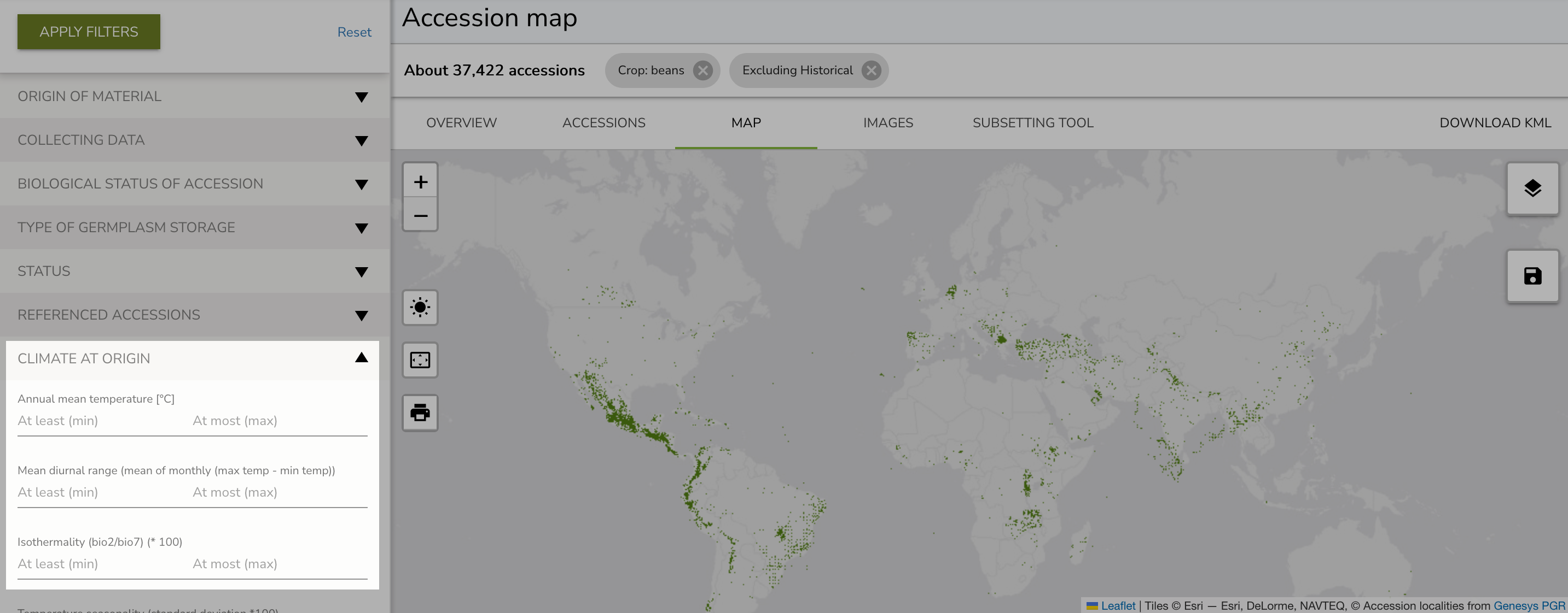
The filter works as a range: "At least" sets the minimum value and "At most" sets the maximum. Accessions where the recorded value falls within your specified range will be shown in the results.
Filtering by precipitation
Precipitation filters work in the same way as temperature filters. Expand the Precipitation section and select a variable, then enter your range of interest.
For example, to find accessions from relatively dry environments, you might set bio12 (Annual precipitation) to at most 500 mm.
What to do next
Once you have identified accessions using climate filters, you can:
- Request samples from the genebanks that conserve them through Genesys
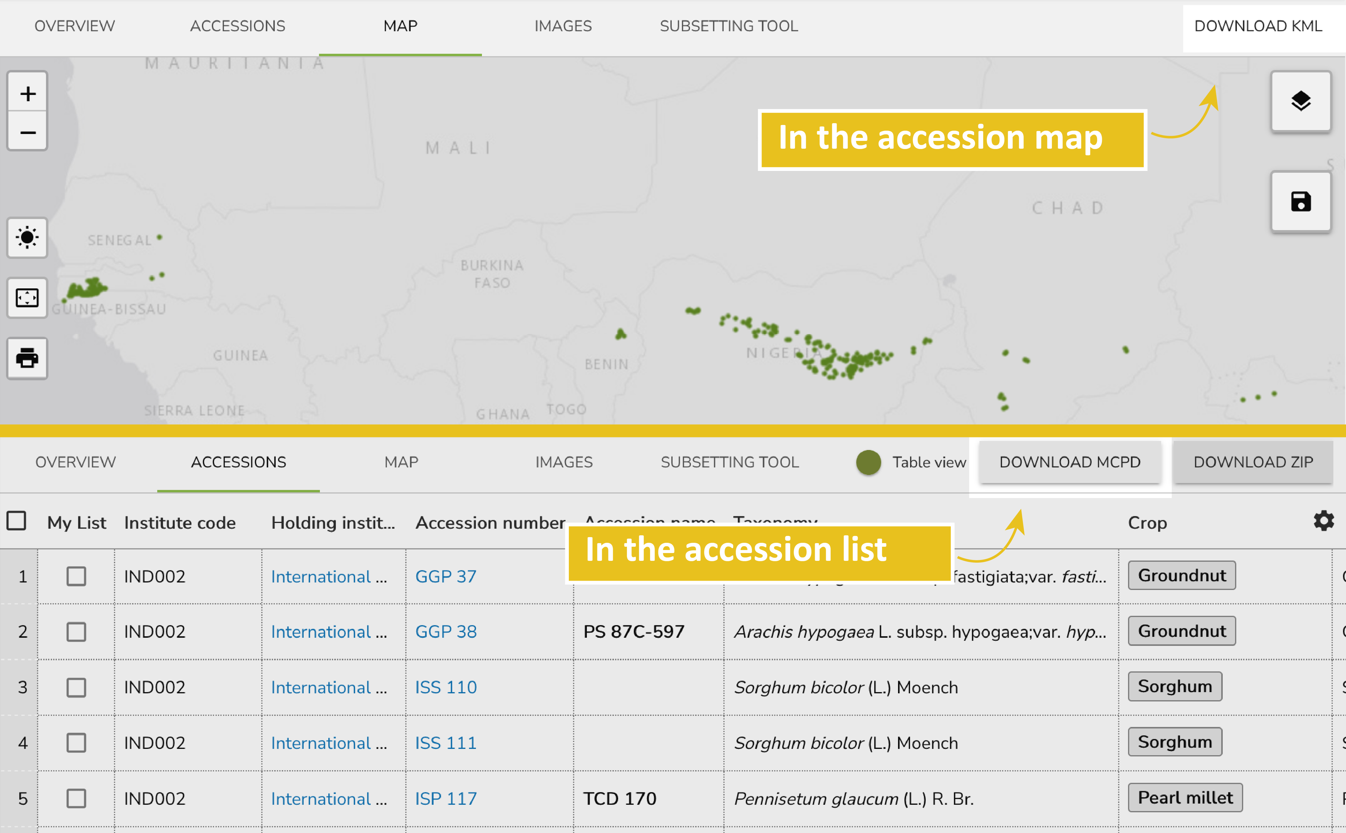
- Download passport data by logging in and clicking Download MCPD
- Download a KML file for use in geographic information systems by clicking Download KML
Video guide
Dr. Alan Humphries, curator at the Australian Pastures Genebank, compiled a comprehensive video guide on searching by climate in Genesys: